Indian River Fishing Spot
- Last Modified By: vinny60 on 09/22/09 09:57 AM
- Ask about Indian River in our Fishing Forums
Photos
Indian River Description
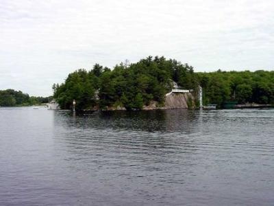
The Indian River is a river and estuary, approximately 15 mi (24 km) long, in Sussex County in southern Delaware in the United States. It rises approximately 2 mi (3 km) southwest of Georgetown and flows east, past Millsboro, its head of navigation. It enters Indian River Bay, an inlet of the Atlantic Ocean south of Cape Henlopen. The lower 6 mi (10 km) of the river form a navigable tidal estuary stretching westward from Indian River Bay, which is protected from the open ocean by two sand bar peninsulas. The bridge over the Indian River Inlet is considered structurally deficient due to tidal erosion. It is scheduled to be replaced by 2011. In addition to surf fishing on the ocean beaches, anglers may try their luck along the banks of the Indian River Inlet. A special access pier at the Inlet allows the elderly and people with disabilities to get close to the fishing action.
Indian River may refer to the following: